
Local decisions first
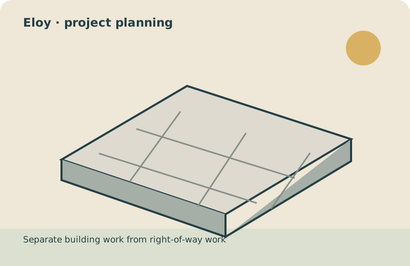
Separate building work from right-of-way work
Eloy’s Building Safety resources distinguish a building permit from civil or right-of-way encroachment applications. For a driveway or slab near a street, mark the public boundary and ask which application applies to each part. For a residential slab supporting a structure, include its drawings and intended use instead of requesting a generic thickness. A patio proposal should document door transitions and the route water will take. Keep permitting, inspection coordination and site restoration as visible scope items when comparing bids.
Questions for this property
- Does the scope include right-of-way encroachment?
- Which drawings describe the planned structure?
- Who restores access after the installation?
Local planning resource for Eloy ↗ · Reviewed October 13, 2026. Confirm current requirements for the actual parcel.
Prepare the right kind of new-concrete request
For a new driveway, note vehicle use and the street connection. For a patio, mark furniture space and door transitions. For a residential slab, describe the planned structure and provide any drawings. These are different scopes; do not compare them on area alone.
Give every bidder the same preliminary dimensions, photos and intended-use description. Ask who determines the design, checks local requirements and coordinates inspections. A volume calculation helps explain geometry but cannot specify a structural slab or final order.
A useful Eloy project brief
- Exact property address and current permitting jurisdiction
- Intended surface and use, with a dimensioned sketch
- Photos of access, transitions and observed drainage
- Written inclusions, exclusions and design responsibility
Why this community is in the directory
Eloy, AZ has a 2020–2024 ACS five-year population estimate of 17,433. Its Census representative point is 34.4 straight-line miles from Queen Creek’s; this is not a driving distance or a response-time estimate. Confirm the actual parcel jurisdiction; the town or community name alone does not identify the permitting authority.
The selection ranks incorporated places and Census-designated places using the same ACS release. The estimate describes the survey period, not today’s headcount. Census representative points provide directory orientation; they do not define current administrative boundaries.
Geographic orientation only. This map does not mark an office or confirm address availability.