
Local decisions first
Separate private driveway work from the public approach
Phoenix identifies driveways and sidewalks in the public right of way within its civil-site inspection responsibilities. A new driveway brief should therefore mark the property line, sidewalk and street approach, with dimensions for each. Ask who checks any off-site civil approval and how the approach joins the private slab. Keep a front-yard parking proposal separate from a backyard patio: access, use and the relevant review can differ. Include photos looking toward the street as well as toward the garage so the estimate addresses both transitions.
Questions for this property
- Does any part of the work enter public right of way?
- Who coordinates the approach review and inspections?
- How will vehicle access be maintained during installation?
Local planning resource for Phoenix ↗ · Reviewed October 13, 2026. Confirm current requirements for the actual parcel.
Prepare the right kind of new-concrete request
For a new driveway, note vehicle use and the street connection. For a patio, mark furniture space and door transitions. For a residential slab, describe the planned structure and provide any drawings. These are different scopes; do not compare them on area alone.
Give every bidder the same preliminary dimensions, photos and intended-use description. Ask who determines the design, checks local requirements and coordinates inspections. A volume calculation helps explain geometry but cannot specify a structural slab or final order.
A useful Phoenix project brief
- Exact property address and current permitting jurisdiction
- Intended surface and use, with a dimensioned sketch
- Photos of access, transitions and observed drainage
- Written inclusions, exclusions and design responsibility
Why this community is in the directory
Phoenix, AZ has a 2020–2024 ACS five-year population estimate of 1,642,323. Its Census representative point is 35.8 straight-line miles from Queen Creek’s; this is not a driving distance or a response-time estimate. Confirm the actual parcel jurisdiction; the town or community name alone does not identify the permitting authority.
The selection ranks incorporated places and Census-designated places using the same ACS release. The estimate describes the survey period, not today’s headcount. Census representative points provide directory orientation; they do not define current administrative boundaries.
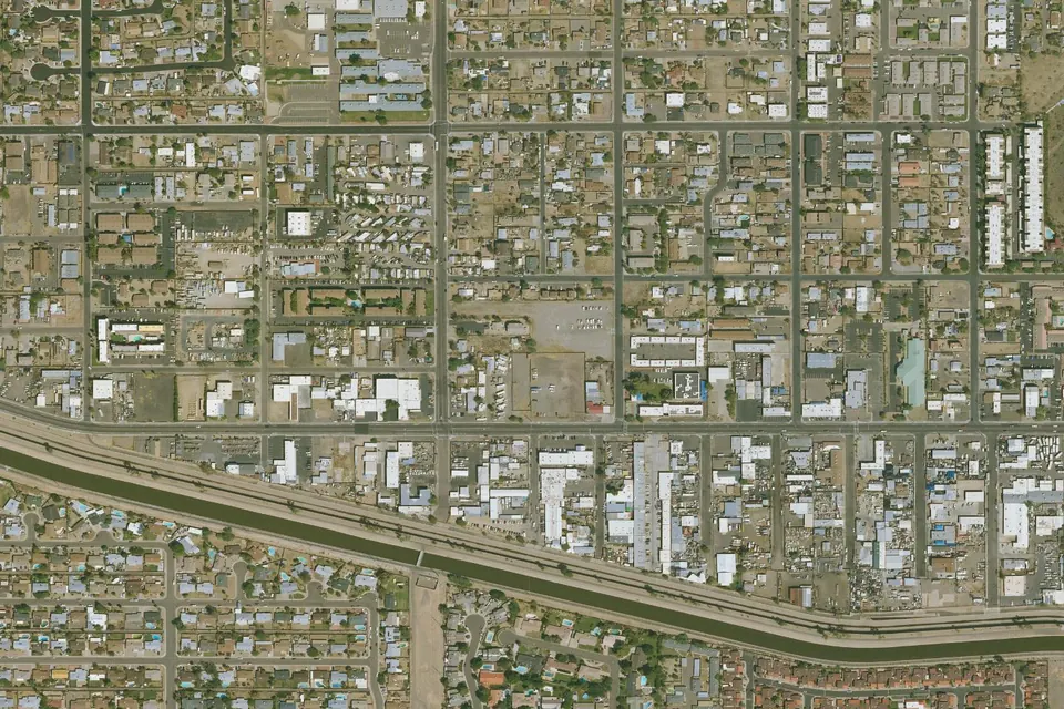
Geographic orientation only. This map does not mark an office or confirm address availability.