
New installation · Project guide

New concrete walkways

Plan a new path around real routes, comfortable transitions and the water movement at your property.

Call for Quote(844) 578-3025

Call to check your exact address and new-installation project.

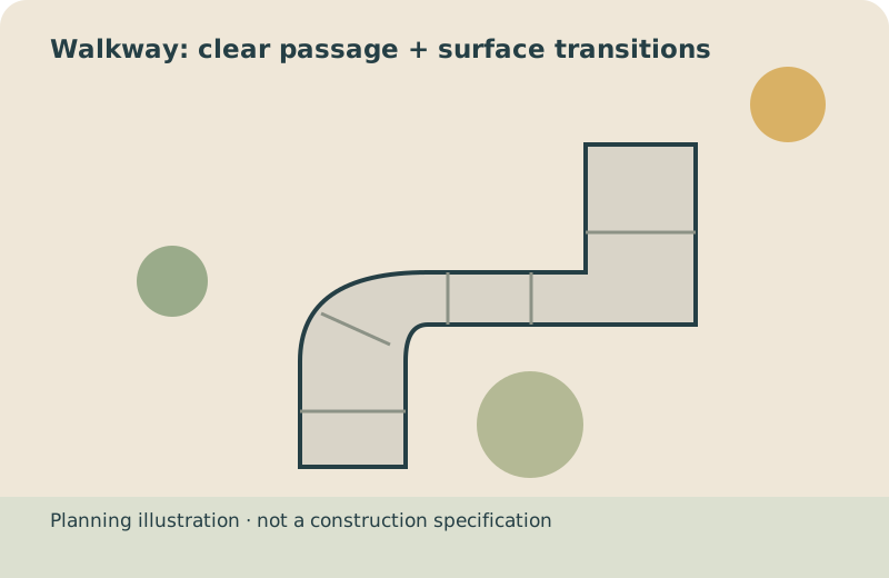
Jointed concrete walkway approaching a landscaped residential porch

Walk the route before drawing it

Mark how people travel between the street, drive, entry and garden. Record gates, door swings and the narrowest point rather than estimating from the lawn alone. Tell the installer about mobility needs and ask for the appropriate design advice; this guide does not certify accessibility compliance. Measure passage, planting edges and transitions together before selecting your route’s width or layout.

Check changes in level

Describe steps and slopes and ask how the new path will meet existing surfaces. Consider where a cart or bin needs to pass. Resolve transitions before the pour, especially where the route crosses the driveway or connects to a public sidewalk.

Keep water off the walking route where practical

Show downspouts, drains and low spots you have observed. Ask for a finished-level plan and discuss the surface texture for its intended use. A path should not be marketed as a fix for unknown drainage or structural problems.

Separate public and private work

Confirm the ownership and approval process at the street. A public sidewalk connection may require a different specification or permit than a private garden path. Request a written scope covering excavation, preparation, joints, curing protection and restoration of the surrounding ground.
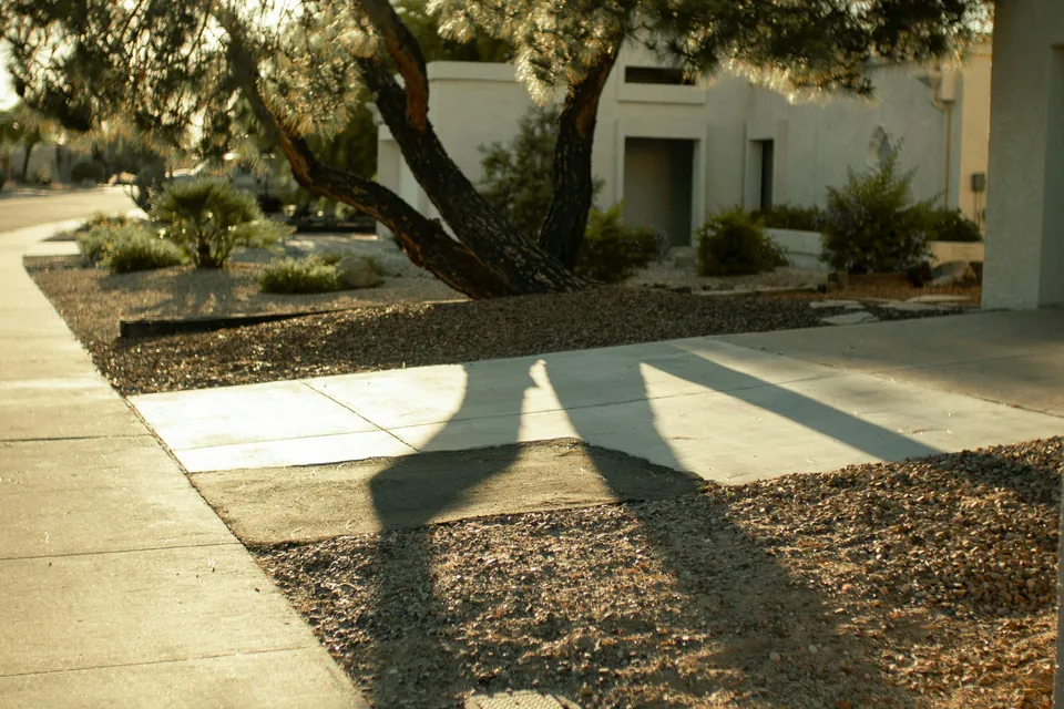
Concrete approach at a Scottsdale residence, showing a walkway through gravel landscaping

Questions to put in the proposal

  • How are doorways, gates and drive crossings handled?
  • Does the path touch a public sidewalk?
  • Which finished levels and surface texture are proposed?
  • How will access be maintained while it cures?

Compare the written scope and use the volume planner for preliminary geometry. For local preparation, read the Queen Creek guide.

Open Queen Creek, AZ in Google Maps ↗

Geographic orientation only. This map does not mark an office or confirm address availability.

Your next step

Know what you want.
Ask for the scope that fits.

Have your address, intended use and approximate dimensions ready. Call to check the address and discuss your new-installation request.

Call for Quote(844) 578-3025

Prepare your project brief →

A local starting point

Service Areas & project planning

Queen Creek plus 30 surrounding communities within 45 straight-line miles. These are editorial planning areas, not verified provider coverage. Call to check your exact address and new-installation project.

Anchor city

The 20 largest surrounding 2020–2024 ACS places appear first. No ZIP coverage is asserted or searched.

PhoenixAZ
MesaAZ
GilbertAZ
ChandlerAZ
GlendaleAZ
ScottsdaleAZ
TempeAZ
San Tan ValleyAZ
GoodyearAZ
AvondaleAZ
MaricopaAZ
Casa GrandeAZ
Apache JunctionAZ
FlorenceAZ
Fountain HillsAZ
EloyAZ
CoolidgeAZ
Sun LakesAZ
Gold CanyonAZ
Paradise ValleyAZ
Expand the restCollapse the rest10 more cities and communities

Arizona towns and communities

Arizona CityAZ
TollesonAZ
GuadalupeAZ
CarefreeAZ
SuperiorAZ
Rio VerdeAZ
KearnyAZ

Gila River Indian Community

SacatonAZ
BlackwaterAZ
Casa BlancaAZ

Population order: U.S. Census ACS 2020–2024, incorporated places and CDPs, using Census representative points. Historical place names do not determine current permitting boundaries. See the complete directory and selection method.

Call for Quote(844) 578-3025